RogonneurRogonneur
Tours
Custom ToursPricing
Rogonneur
ExplorePricingDashboard

© 2026 Rogonneur. All rights reserved.

ImprintTerms & ConditionsCookie PolicyPrivacy Statement
  1. Home
  2. Bike Tours
  3. Freiburg – Freiburg
  4. Stage 3: Neuchâtel - Saint-Hippolyte

Neuchâtel - Saint-Hippolyte

to Saint-Hippolyte

E-Bike: 7h 43

Bike: 10h 29
115 kmDistance
2,229 mElevation Gain
14 km/hAverage Speed
8h 13mDuration
Difficulty
Traffic
Neuchâtel - Saint-Hippolyte
Round Trip
Mixed
Touring Bike

Gallery

Neuchâtel - Saint-Hippolyte

Description

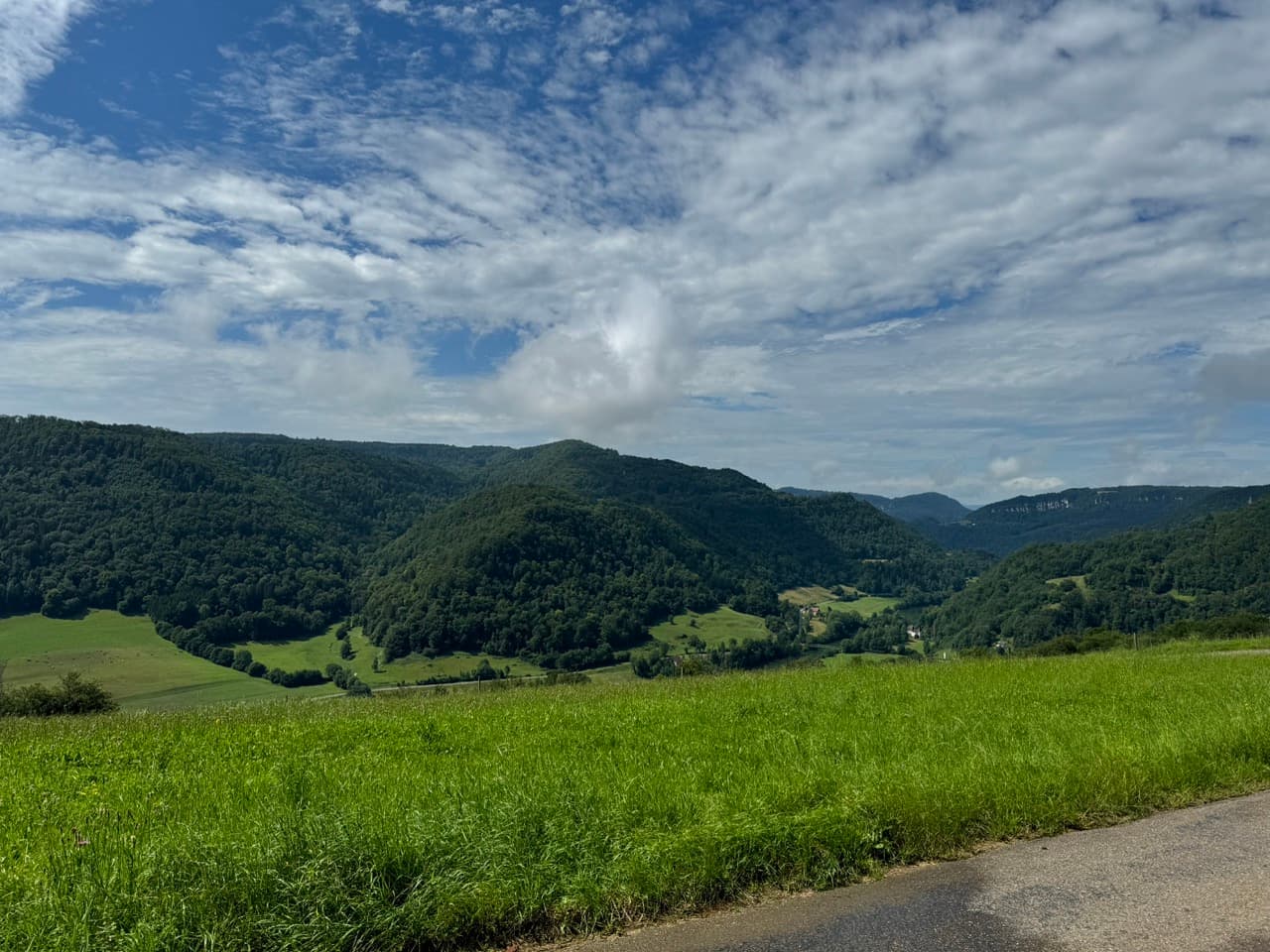
Leaving the shores of Lake Neuchâtel, the route points straight upward into the Jura ridges without any time for a warm-up. The heaviest climbing is concentrated within the first section before the road levels out onto expansive, rolling plateaus. Dense pine forests and limestone formations dominate the scenery along the Swiss-French border. A key feature of this stage is the Doubs River, with the route tracking its winding course for a significant stretch. The terrain remains consistently rolling, defined by short, punchy climbs rather than long passes. After crossing into France, a final descent brings you down into the quiet valley basin of Saint-Hippolyte.

Route

115.3 km, 2229 m climbing, hard difficulty

End Point
Saint-Hippolyte
Country
France, Switzerland
Regions
Alps, Bourgogne-Franche-Comté, Neuchâtel
Recommended Months

J

F

M

A

M

J

J

A

S

O

N

D

Loading route map…

Loading weather...

At a glance

Distance

115 km

Difficulty

Hard

Duration

8h 13m

Ascent

2,229 m

Suitable bikes

Touring Bike

Surface

Mixed (25-50% gravel)

Best time to ride

J

F

M

A

M

J

J

A

S

O

N

D

Scenery
Cycling heritage
Culture
Nature
Traffic

4/5

· Quiet

Rated: 1 of 1 stages
Food & water

4/5

· Easy resupply

Wind tendency for this stage

Light sidewind

Highlights along this route

Climb: 738m gain, 4.3% avg

Climb: 738m gain, 4.3% avg

Distance: 17.1 km, Max gradient: 21.4%, Peak: 1162 m

Cycling-Specific
Blick ins weite Tal

Blick ins weite Tal

Culture
Highest point: 1165 m

Highest point: 1165 m

Elevation: 1165 m

Scenic View
Climb: 348m gain, 5.0% avg

Climb: 348m gain, 5.0% avg

Distance: 7.0 km, Max gradient: 13.6%, Peak: 961 m

Cycling-Specific
Gratweg mit Panoramablick

Gratweg mit Panoramablick

Culture
Climb: 304m gain, 4.9% avg

Climb: 304m gain, 4.9% avg

Distance: 6.2 km, Max gradient: 12.0%, Peak: 863 m

Cycling-Specific

Packing List

Essentials

Backpack

Water purification system

Hiking boots

Weather-appropriate clothing

Hat and sunglasses

Headlamp/flashlight

Multi-tool/knife

Hydration and Nutrition

Water bottles or hydration system

High-energy snacks

Lightweight, non-perishable meals

Navigation and Safety

Map and compass

First aid kit

Emergency whistle

Multi-day trekking poles

Lightweight, compact rain gear

Personal Items

Sunscreen

Insect repellent

Toiletries (travel-sized)

Quick-dry towel

Camera and/or smartphone

Portable charger

Documents and Communication

Identification

Emergency contact information

Cash and/or credit cards

Optional Extras

Binoculars

Trekking guidebook

Travel journal and pen