RogonneurRogonneur
Tours
Custom ToursPricing
Rogonneur
ExplorePricingDashboard

© 2026 Rogonneur. All rights reserved.

ImprintTerms & ConditionsCookie PolicyPrivacy Statement
  1. Home
  2. Stages
  3. Oriolo Romano - Unione dei Comuni Valdichiana Senese

Oriolo Romano - Unione dei Comuni Valdichiana Senese

from Oriolo Romano

to Unione dei Comuni Valdichiana Senese

E-Bike: 6h 19

Bike: 8h 30
103 kmDistance
1,454 mElevation Gain
17 km/hAverage Speed
6h 32mDuration
Difficulty
Traffic
Oriolo Romano - Unione dei Comuni Valdichiana Senese
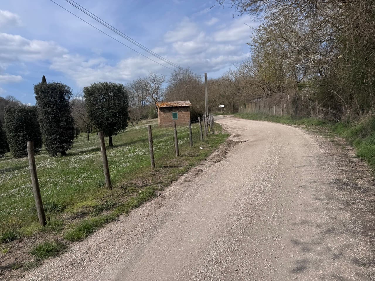
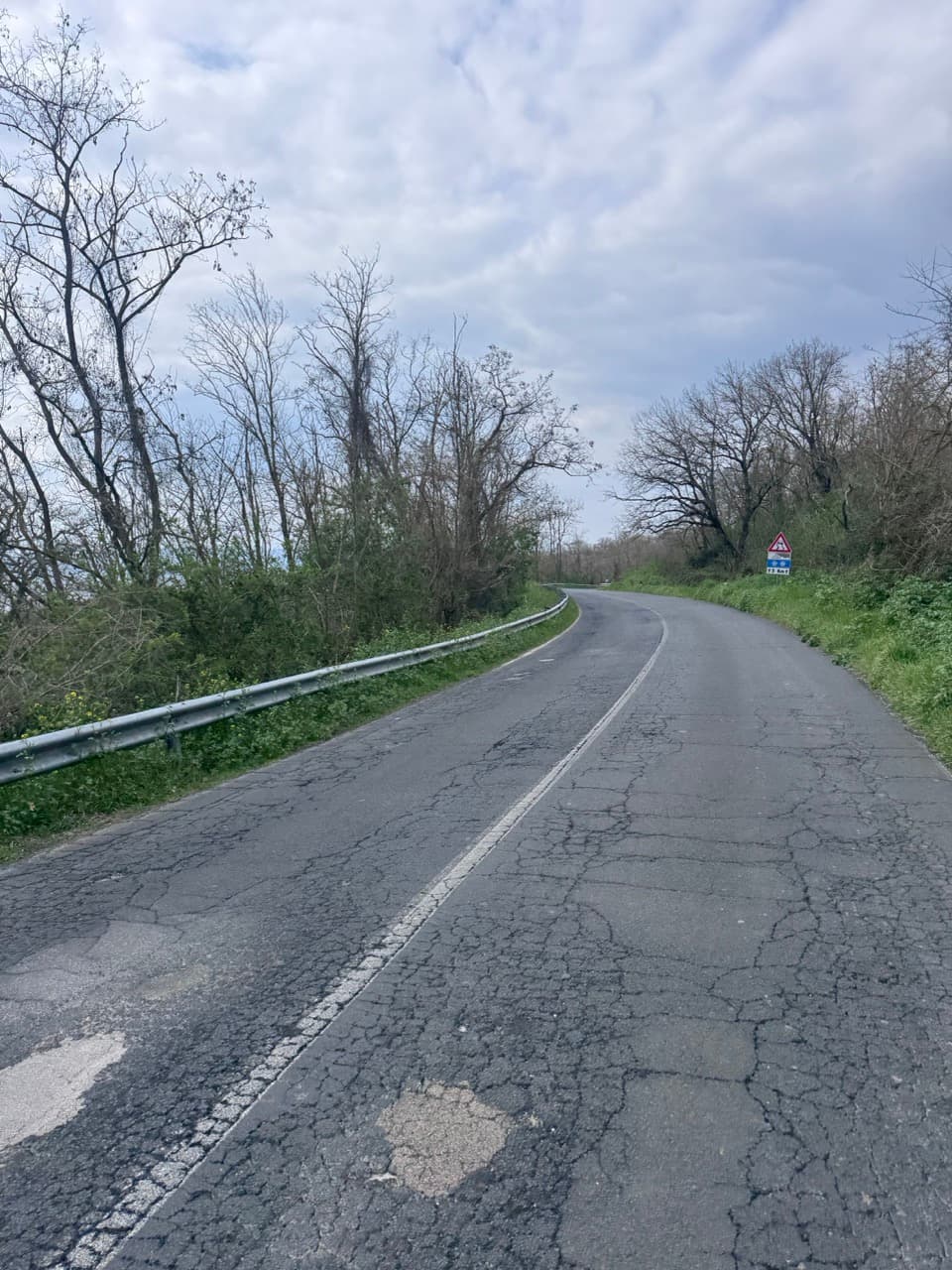
Mostly Tarmac
Touring Bike

Gallery

Oriolo Romano - Unione dei Comuni Valdichiana Senese

Description

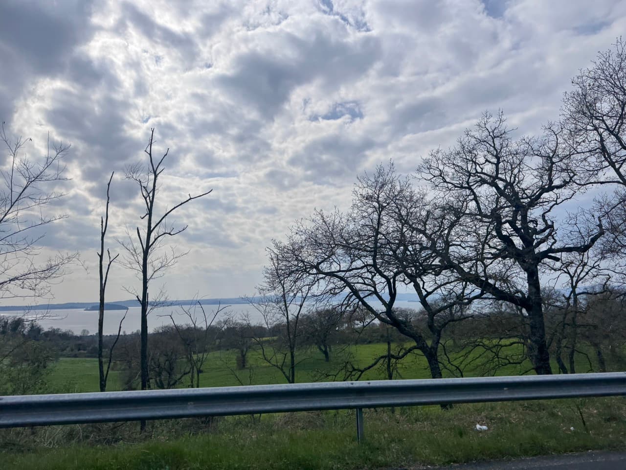
The opening stage stays west of Rome, starting in the flat coastal plain near Fiumicino. Canals, fields and pine trees shape the first kilometres as the route heads north and leaves the city traffic behind. Beyond Maccarese, the riding becomes more rural, then the road climbs gradually into the volcanic hills of the Sabatini range. Near Anguillara Sabazia, Lago di Bracciano opens into view, the day’s strongest landmark. Bracciano and Manziana follow before the final rise to Oriolo Romano, with woodland, old walls and quiet roads.

Route

103.5 km from Oriolo Romano to Unione dei Comuni Valdichiana Senese, 1454 m climbing, medium difficulty

Start Point
Oriolo Romano
End Point
Unione dei Comuni Valdichiana Senese
Country
Italy
Regions
Apennines, Lazio, Tuscany
Recommended Months

J

F

M

A

M

J

J

A

S

O

N

D

Loading route map…

Loading weather...

At a glance

Distance

103 km

Difficulty

Medium

Duration

6h 32m

Ascent

1,454 m

Suitable bikes

Touring Bike

Surface

Mostly Tarmac (10-25% gravel)

Best time to ride

J

F

M

A

M

J

J

A

S

O

N

D

Scenery
Cycling heritage
Culture
Nature
Wind tendency for this stage

Light sidewind

Highlights along this route

Highest point: 566 m

Highest point: 566 m

Elevation: 566 m

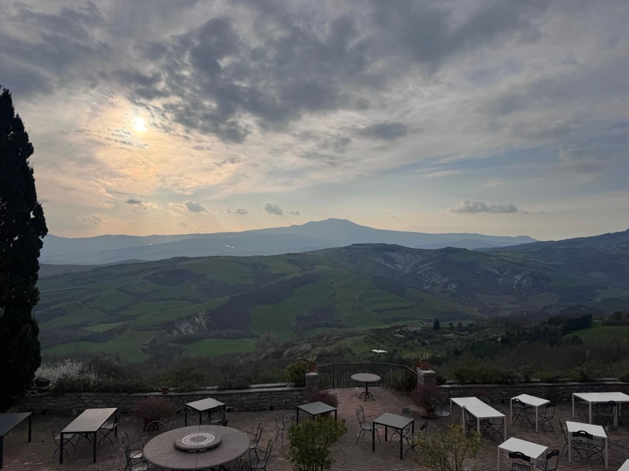
Scenic View

Packing List

Essentials

Backpack

Water purification system

Hiking boots

Weather-appropriate clothing

Hat and sunglasses

Headlamp/flashlight

Multi-tool/knife

Hydration and Nutrition

Water bottles or hydration system

High-energy snacks

Lightweight, non-perishable meals

Navigation and Safety

Map and compass

First aid kit

Emergency whistle

Multi-day trekking poles

Lightweight, compact rain gear

Personal Items

Sunscreen

Insect repellent

Toiletries (travel-sized)

Quick-dry towel

Camera and/or smartphone

Portable charger

Documents and Communication

Identification

Emergency contact information

Cash and/or credit cards

Optional Extras

Binoculars

Trekking guidebook

Travel journal and pen