RogonneurRogonneur
Tours
Custom ToursCycling 101PricingShop
Rogonneur
ExploreCycling 101PricingDashboard

© 2026 Rogonneur. All rights reserved.

ImprintTerms & ConditionsCookie PolicyPrivacy Statement
  1. Home
  2. Bike Tours
  3. Europe
  4. 3-Nation Bikepacking Loop: Through the Swiss Jura from Freiburg to Neuchâtel

3-Nation Bikepacking Loop: Through the Swiss Jura from Freiburg to Neuchâtel

from Freiburg

to Freiburg

E-Bike: 6h 59 / day

Bike: 9h 22 / day

469 kmDistance
5,961 mElevation
4 DaysDuration
HardDifficulty
4Stages
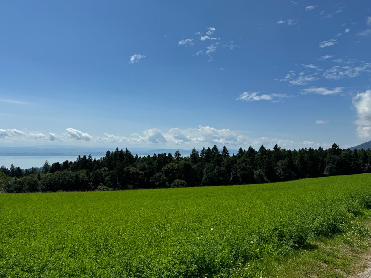
Lake Neuchatel
ClimbsCross-borderRiverside
Rental at Start
Rental at End

Gallery

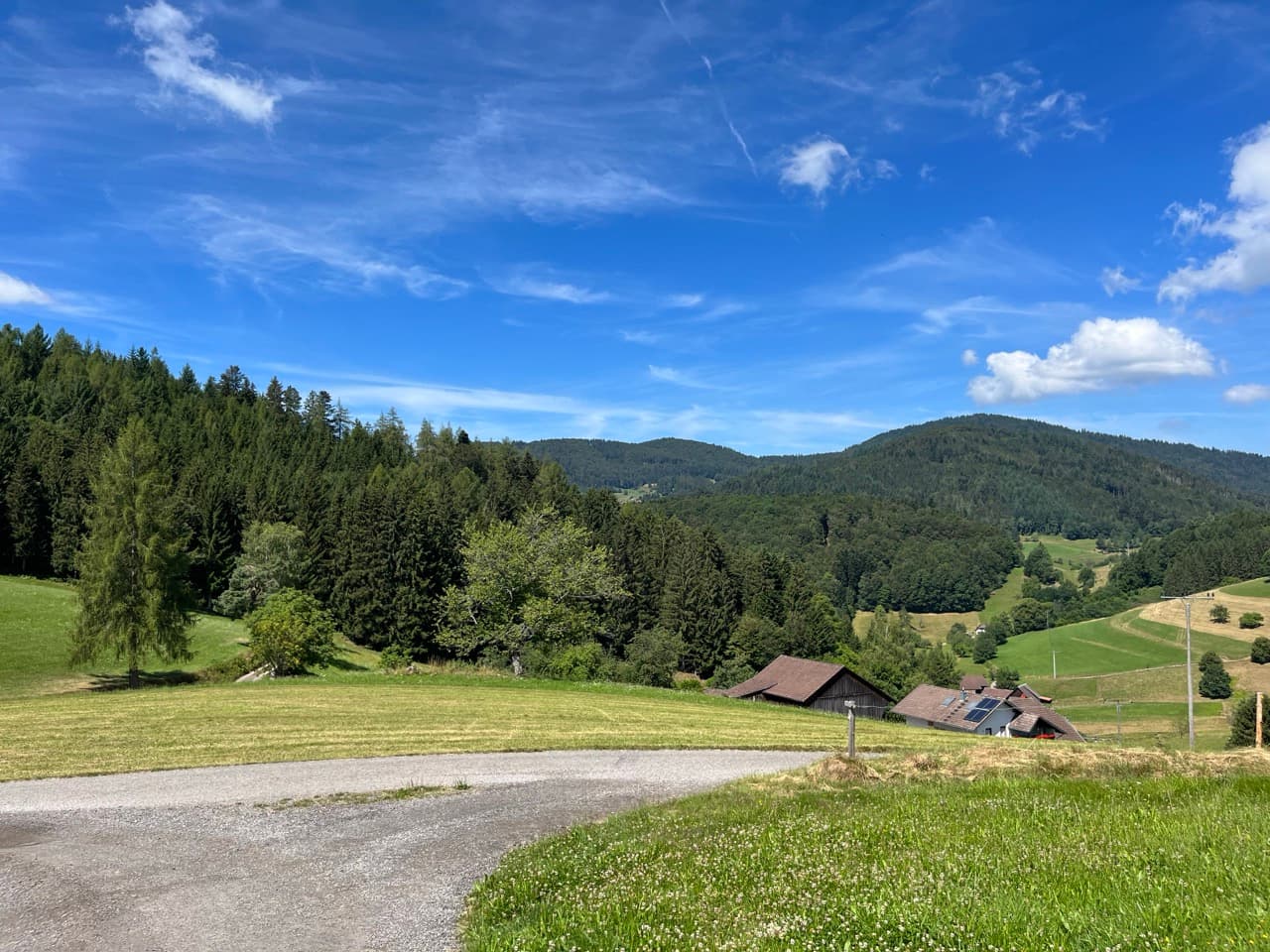
Freiburg - Reinach
Lake Neuchatel
Lake Neuchatel
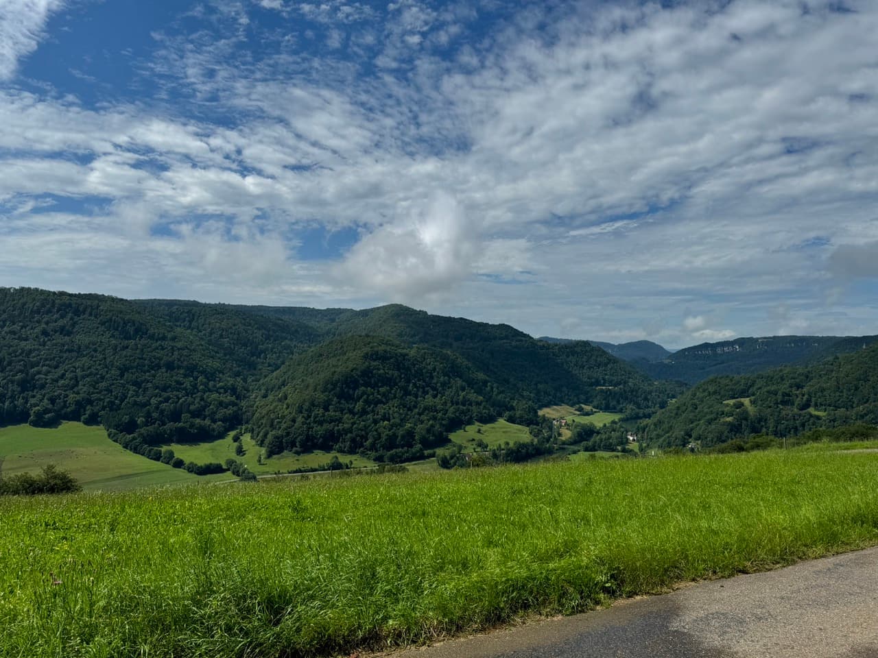
Saint-Hippolyte - Freiburg

+8

Description

470 kilometers, nearly 6,000 meters of climbing, and three countries in four days: this bikepacking loop from Freiburg through the Swiss Jura to Lake Neuchâtel and back skips the fluff and delivers pure, varied riding. From the Black Forest climbs of the Hochblauen, the track leads directly onto the stark, rolling plateaus of the Franches-Montagnes, tracks the winding course of the Doubs River, and crosses into the French Jura before spinning back flat through the Alsatian Sundgau. No sugarcoating—just solid tarmac, challenging key sectors like Vue des Alpes, and quiet border roads. It is a route built for riders who demand raw and highly accurate terrain.A free Rogonneur account unlocks full access to the complete GPX files, detailed elevation profiles, and curated POIs for this Jura loop, eliminating any logistical guesswork for the next big ride. Precise planning starts with a quick registration.

Route

The sporting appeal of this multi-country loop lies in the continuous adaptation to shifting road surfaces and distinct microclimates. The technical start in the southern Breisgau region demands strict pacing, ensuring legs are saved before entering the sharp, hidden gradients of the foothills. After crossing into Switzerland, the smooth, rolling lanes quickly transition into historic cobblestone sectors inside ancient towns, before tracking onto quiet secondary roads. The layout cuts straight through expansive agricultural zones, where fields of wheat and local crops map out a wide, geometric landscape. Deep in the Jura, the route follows the natural contours of the limestone ridges. These sections require excellent gear selection as the road shifts between steep, shaded forest ramps and exposed high plateaus that retain a crisp, near-alpine chill even during summer. The border crossing into France brings a sudden structural shift, as pristine Swiss chalets give way to the rugged, weathered stone masonry of traditional French farmsteads. Self-sufficiency becomes essential through the rolling Sundgau countryside, where remote village fountains and small local bakeries serve as the only reliable resupply points. The physical demands finally ease upon reaching the dead-flat Rhine plain, allowing riders to lock into a steady aero rhythm on paved agricultural paths, watching the Black Forest horizon grow larger as the final kilometers tick away toward the finish.

Start Point
Freiburg
End Point
Freiburg
Country
France, Germany, Switzerland
Regions
Alps, Alsace, Baden-Württemberg, Basel-City, Basel-Landschaft, Bern, Black Forest, Bourgogne-Franche-Comté, Grand Est, Jura, Neuchâtel, Solothurn

At a glance

Distance

469 km

Difficulty

Hard

Road type

—

Duration

4 days

Ascent

5,961 m

Suitable bikes

—

Food

3

Highest point

1,278 m

Descent

5,943 m

Surface

Mixed (25-50% gravel)

Best time to ride

J

F

M

A

M

J

J

A

S

O

N

D

Scenery
Cycling heritage
Culture
Nature
Traffic

4/5

· Quiet

Rated: 4 of 4 stages
Food & water

4/5

· Easy resupply

Wind tendency for this tour

Mixed wind

Tour Itinerary

  • Day 1
    Freiburg - Reinach

    91 km1,434 m

    View Details
  • Day 2
    Reinach - Neuchâtel

    118 km1,573 m

    View Details
  • Day 3
    Neuchâtel - Saint-Hippolyte

    115 km2,229 m

    View Details
  • Day 4
    Saint-Hippolyte - Freiburg

    144 km725 m

    View Details

Cultural & scenic highlights

1 / 39

  • Café Marcel

    Show on our map
    Culinary
    Andreas Schwarzkopf · CC BY-SA 3.0
  • Blick ins weite Tal

    Show on our map
    Culture
  • Gratweg mit Panoramablick

    Show on our map
    Culture
  • Viewpoint

    Show on our map
    Scenic View
  • Protolepidodendron

    Show on our map
    Culture
  • Krokodil

    Show on our map
    Culture
  • Meganeura+Hylonomus

    Show on our map
    Culture
  • Viewpoint

    Show on our map
    Scenic View
  • Herrerasaurus

    Show on our map
    Culture
  • Ludwigshöhe

    Show on our map
    Scenic View
  • Eudimorphodon

    Show on our map
    Culture
  • Musée des Beaux-Arts de Mulhouse

    Show on our map
    Culture
  • Apatosaurus

    Show on our map
    Culture
  • Kanonenplatz

    Show on our map
    Scenic View
  • Plesiadapis

    Show on our map
    Culture
  • Monument des Anciens de Tambow

    Show on our map
    History
  • Tyrannosaurus+Diprotodon

    Show on our map
    Culture
  • Granit Bleu de Vire

    Show on our map
    Culture
  • Bruderholzdenkmal

    Show on our map
    History
  • Guillaume Tell

    Show on our map
    Culture
  • Altes Bruderholzdenkmal

    Show on our map
    History
  • Les Mulhousiens

    Show on our map
    Culture
  • Heimatmuseum

    Show on our map
    Culture
  • Memorial

    Show on our map
    History
  • Roue de moulin

    Show on our map
    History
  • La Kunsthalle - Centre d'art contemporain

    Show on our map
    Culture
  • Artwork

    Show on our map
    Culture
  • Musée Historique de Mulhouse

    Show on our map
    Culture
  • Forum Würth Arlesheim

    Show on our map
    Culture
  • Belvédère

    Show on our map
    Scenic View
  • Climb: 644m gain, 7.7% avg

    Distance: 8.3 km, Max gradient: 17.9%, Peak: 936 m

    Show on our map
    Cycling-Specific
  • Highest point: 937 m

    Elevation: 937 m

    Show on our map
    Scenic View
  • Highest point: 1278 m

    Elevation: 1278 m

    Show on our map
    Scenic View
  • Climb: 738m gain, 4.3% avg

    Distance: 17.1 km, Max gradient: 21.4%, Peak: 1162 m

    Show on our map
    Cycling-Specific
  • Climb: 348m gain, 5.0% avg

    Distance: 7.0 km, Max gradient: 13.6%, Peak: 961 m

    Show on our map
    Cycling-Specific
  • Climb: 304m gain, 4.9% avg

    Distance: 6.2 km, Max gradient: 12.0%, Peak: 863 m

    Show on our map
    Cycling-Specific
  • Highest point: 1165 m

    Elevation: 1165 m

    Show on our map
    Scenic View
  • Climb: 291m gain, 5.1% avg

    Distance: 5.8 km, Max gradient: 10.0%, Peak: 690 m

    Show on our map
    Cycling-Specific
  • Highest point: 795 m

    Elevation: 795 m

    Show on our map
    Scenic View

Ferry Crossings

This tour includes a ferry crossing. Plan ahead and book in time.

1 crossing across 4 riding days

Listed in riding order

  1. 1

  2. Day 2

    Cudrefin - Neuchâtel

  3. 3

  4. 4

Cudrefin - Neuchâtel

Ferry

Cudrefin

Neuchâtel

Route · Cudrefin - Neuchâtel

LNM

Tickets are sold at the terminalShow on our map
Day2Crossing
Travel access

Arrival and departure

Very easy access

This round trip has several good access options: Freiburg Hauptbahnhof by train or EuroAirport Basel-Mulhouse-Freiburg by flight or Freiburg ZOB Airportbus by coach. Choose the one that fits your origin, onward journey and bike setup best.

Major rail hub

Freiburg Hauptbahnhof, 1 km · about 15 min by public transport

Airport

EuroAirport Basel-Mulhouse-Freiburg, 51 km · about 85 min by public transport

Coach / bus hub

Freiburg ZOB Airportbus, 1 km · about 15 min by public transport

Local transport

Freiburg, Europaplatz, 0 km

Bike hire nearby: frelo Ludwigstraße / Landratsamt, 0 kmAlso nearby: Embarcadère Sans-Souci (Ferry Terminal), 24 km — not a way to leave the tour

The Curated List

All
Restaurants
Supermarkets
Albatros
Restaurants

Restaurant

Aumattstrasse 71, 4153, Reinach BL, CH
Show on our map
Restaurant Landhof
Restaurants

pizza

Show on our map
Chez Würth
Restaurants

Restaurant

Show on our map
Coop
Supermarkets

Supermarket

Show on our map
Migros
Supermarkets

Supermarket

Niederbergstrasse 1, 4153, Reinach BL, CH
Show on our map
Denner
Supermarkets

Supermarket

Show on our map

Packing list

Bike-specific essentials. Pack light, ride more.

Hotel

Everything you need for a comfortable cycling trip when staying in hotels or guesthouses.

Bags & setup

  • Frame bag, seat pack or panniers
  • Small handlebar bag for valuables
  • Dry bags or zip bags

Clothing

  • Cycling shorts or bib shorts
  • Cycling jersey or quick-dry shirt
  • Light insulation layer
  • Rain jacket
  • Socks and underwear
  • Gloves
  • Buff or thin hat
  • Off-bike clothes for the evening

Tools & spares

  • Spare tube
  • Tyre levers
  • Mini pump or CO₂ inflator
  • Multitool
  • Patch kit
  • Chain quick link
  • Small bottle of chain lube
  • Zip ties and a little tape

Navigation & power

  • Smartphone or GPS device
  • Handlebar mount
  • Charging cables
  • Power bank
  • Offline route or GPX file
  • Front and rear lights

Food & water

  • Water bottles
  • Bars, nuts or other snacks
  • Small emergency food supply
  • Electrolytes for heat or long stages

Personal items & documents

  • ID or passport
  • Bank card and some cash
  • Health insurance card
  • Sunscreen
  • First-aid kit
  • Personal medication
  • Toothbrush and small toiletries

Camping extras

Additional gear for bike trips with camping.

Sleep system

  • Lightweight tent, bivy or tarp
  • Sleeping bag
  • Sleeping mat
  • Inflatable pillow or stuff sack
  • Earplugs

Cooking & food

  • Small stove
  • Fuel
  • Pot or cup
  • Spoon or spork
  • Lighter
  • Lightweight meals
  • Water filter or purification tablets if needed

Camp basics

  • Headlamp
  • Small microfibre towel
  • Biodegradable soap
  • Toilet paper
  • Trash bag
  • Extra dry bag for wet gear

Tip Pack for the conditions, your route and the duration of your ride. Less weight means more freedom to go further.

Explore Our Tours

  • Freiburg to Nice by Bike: Alpine Crossing via Grand-Saint-Bernard and Col de la Lombarde

    The ride changes character almost every day. After the calm roll through the Upper Rhine plain, things get sharper beyond Basel: Dornach, Hochwald and the first Jura hills bring forest, pasture and lo...

    8 days

    783 km

  • Bikepacking from Nice to Freiburg: 11 Days Through Provence, Switzerland, Jura & Black Forest

    This tour is not just a line across the map, but a ride through several very different cycling landscapes. The opening days are shaped by southern light, dry hillsides and constant rolling terrain. Th...

    11 days

    851 km
  • Nice to Munich Alpine Crossing: 9-Day Road Cycling Route over Bonette, Galibier and Iseran

    This route is not a gentle Alpine crossing with short daily rides. It is long, mountainous and built as a proper road journey. The opening days are shaped by sustained climbs, deep valleys and fast ch...

    9 days

    1,263 km

  • London to Freiburg by Bike: The Ultimate 8-Day Trans-European Route

    A masterclass in continental bicycle infrastructure. The track features an optimized mix of car-free asphalt greenways, historic riverside towpaths, and pristine agricultural gravel sectors. It is per...

    8 days

    965 km

  • Lyon to Freiburg Cycling Route: From the Saône through Burgundy to the Black Forest

    This tour suits riders who want a point-to-point journey with substance, but without turning every day into a mountain stage. The challenge comes from consistency: steady kilometres, changing surfaces...

    7 days

    535 km

  • Paris to Freiburg Bike Tour: Five Days Through Champagne, Lorraine, the Vosges and Alsace

    This route is built for riders who enjoy several long days in a row and prefer a real point-to-point journey over a checklist of famous stops. The early stages are efficient, but they still ask for di...

    5 days

    528 km